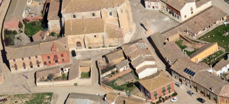
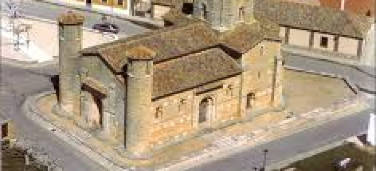
The hardest part of this stage is ascending to Alto de Mostelares, once you get there you can listen to Pisuerga river. Now you are close to Palencia, but before getting there you will stop in Frómista a village that is deeply linked with St. James. It has lots of monument and historical heritage such as the Iglesia de San Martín church one of the best preserved Romanesque temples in Europe.
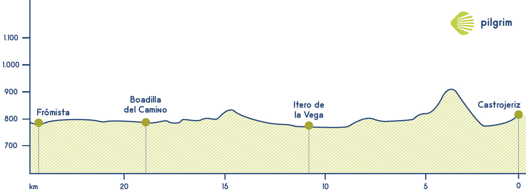
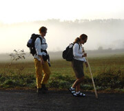
You will leave Castrojeriz to face a big challenge, the ascend to Alto de Mostelares. Just a few meters after crossing a wood bridge you will start to the ascend it is approximately one kilometer and a half and it has an unevenness of almost 140 meters. Once you get to the top you will enjoy the wonderful landscape, this will encourage you to continue. Now you will descend through an asphalted road.
A little bit after you will change the asphalt for a path. You will continue through the left way to get to a rest area where you can rest and have a break, you will also find a spring there, its water is cool. A little bit forward, after crossing San Nicaolás and its Romanesque hermitage you will get to the Puente Fitero bridge or Puente de la Mula bridge that is over the Pisuerga river. This is one of the largest bridges in all the Way and it also was used as a frontier between Castile and Aragón for centuries.
Very close to the church you will find a hostel that has one of the oldest traditions in this millenary route: they wash pilgrim’s feet. After crossing the temple and the bridge you will get to Ítero de la Vega, where you should take enough provisions to continue the route. You will leave this village after crossing the Ermita de Nuestra Señora de la Piedad hermitage and also the Iglesia de San Pedro church through Santa Ana street. You will cross a road and you will lead to Boadilla del Camino, you won’t find any place to rest. Lots of people decide to conclude here the stage, visiting the Iglesia de la Asunción church. If you decide to continue you have to know that there are approximately seven kilometers to Frómist. You will use a turn away to the left to leave Boadilla.
What to see
Remember.
Hidratarse es fundamental. We walk by your side! If you have any doubts about this stage or about other stages, please contact us, we will help you. Have a nice Way, Pilgrim!
What to eat
- Pigeon stew
- Roasted suckling lamb
- Typical black pudding and cold meat
- Campurriana biscuits (made with butter, sugar and almond)
- Sequillos (pastries made with eggs, flour, olive oil and sugar
Bear in mind
The only problem that you will have in this stage is the absence of shades. You should drink frequently and avoid walking in the hottest hours. You should keep calm while you are ascending Alto de Mostelares.
What to see| Towns | Public Hostel |
Bike rental |
Medical assistance |
Coffe bar |
Teller |
Pharmacy |
Hotel |
Touristic Information |
Guesthouse |
Restaurant |
Supermarket |
Veterinarian |
|---|---|---|---|---|---|---|---|---|---|---|---|---|
| Castrojeriz | ✔ | ✔ | ✔ | ✔ | ✔ | ✔ | ✔ | ✔ | ✔ | |||
| Ítero de la Vega | ✔ | ✔ | ||||||||||
| Boadilla del Camino | ✔ | ✔ | ✔ | ✔ | ✔ | |||||||
| Frómista | ✔ | ✔ | ✔ | ✔ | ✔ | ✔ | ✔ | ✔ | ✔ | ✔ |
