Camino Sanabrés: Stage 8
Sanabres Way
On foot
13 stages


Information
About this stage
The presence of another mountain will again mark today’s day, in this case the day of Requeixada, previous to the cross of Mount Talariño. This climb will measure the resistance with which we have reached this point of our path, but an incredible picture of the greenest Galicia will give us the breath we need to continue walking.
Recommendation Pilgrim
In addition to the mileage, this stage is characterized by the ascents to Tamicelas and Alberguería, reaching almost a thousand meters of altitude. It is remarkable the presence of a point of attention to the pilgrim in Soutelo Verde, a perfect place to have breakfast and get strength.
Those who, yesterday, decided to opt for the Verín bypass and did not re-engage with the original route, must continue to Xinzo de Lima, some thirty-five kilometres away and from there to Allariz. Cyclists and people with reduced mobility should take into account the considerable slope to continue on the road if they consider it convenient.
Distance and elevation
Stage profile

Route
Itinerary
Km 0 – Inicio
After a short rest, we will join a path of soft grass that will take us to a road, which we will cross to continue along the previous path before reaching the local road. There, we cross again with great caution and take another path through Mount Talariño. We climb up its slope to a wooden cross, almost a thousand meters above sea level. Continue on the left, while descending again towards the road and Vilar de Barrio. We cross this town, where we will find a few services, to Bóveda, just two kilometres away, and, a few kilometres away, to Vilar de Gomareite. Here we go out along an asphalted path and continue for a few metres until we turn left onto another path that may be somewhat flooded during the rainy season. We will continue, at least for another three kilometres, to the point where we turn right to enter Bobadela, a typical village in Ourense full of granaries. Surrounded by oak groves, we continue up the hill on the right first, and then to the left, to cross the road and quickly enter the place of Padroso. At the level of a washing place or pylon, we go to the left, passing some steep slopes from here to Cima de Vila, a town that we border on the right and continue along a track in front of us. We come across the road again, crossing it with a ship and, just three kilometres away, we will reach the end of the stage in Xunqueira de Ambía by road.
Local Information
Police, Medical Care, What to See, Where to Eat…
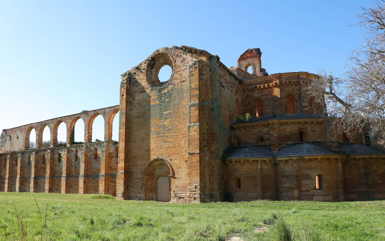
Km 33 ‧ Xunqueira de Ambía
Local Information
Police, Medical Care, What to See, Where to Eat…


